The Pyrenees
A dramatic opening from the French foothills into Navarra.
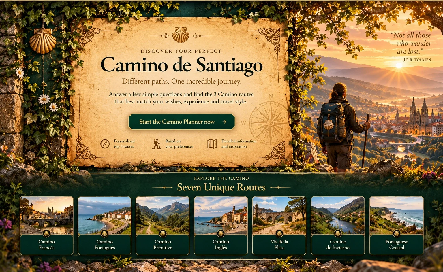
Every Camino has its own rhythm, landscape and story. Explore the routes before finding the one that fits you.
The classic route. A timeless journey.
The best-known Camino to Santiago: a journey across northern Spain through Pyrenean passes, historic cities, the Meseta and green Galicia.
The pilgrimage to Santiago grew after a tomb believed to be that of the apostle James the Greater was discovered in Galicia in the 9th century. By the 11th century, the Camino Francés had overtaken the northern routes and become the principal Way across the Iberian Peninsula.
For centuries the route carried pilgrims, ideas, art and trade. Churches, monasteries, hospitals, bridges and towns developed around that movement, leaving an exceptional Romanesque-to-Baroque heritage that is still part of the walking experience today.
The UNESCO-inscribed Camino Francés in Spain runs for 738 km. Many modern pilgrims begin just across the French border in Saint-Jean-Pied-de-Port, then cross the Pyrenees via Roncesvalles before continuing west.
A dramatic opening from the French foothills into Navarra.
Pamplona, Logroño, Burgos and León bring layers of architecture and pilgrim history.
Wide Castilian horizons and long, contemplative stretches.
Stone villages, woodland paths and the final approach to Santiago.
“A route shaped by more than a millennium of pilgrimage, exchange and hospitality.”
Take the Camino Planner and discover how this route matches your personality, wishes and way of travelling.
The coastal way. Wild, green and historic.
From Irún, the Northern Way follows Spain’s Cantabrian side through the Basque Country, Cantabria and Asturias before entering Galicia and continuing to Santiago.
The northern routes belong to the earliest traditions of pilgrimage to Santiago. They developed after the 9th-century discovery of the tomb believed to be that of Saint James, and were promoted by the Kingdom of Asturias.
For centuries pilgrims travelled along Spain’s northern edge. From the 11th century the easier Camino Francés became the principal route, but the coastal way endured. In 2015 the Northern Routes — including the Coastal Way — were added to UNESCO’s World Heritage property for the Routes of Santiago de Compostela.
The Camino del Norte begins at Irún on the French border and travels west through the Basque Country, Cantabria and Asturias. In Galicia it passes Ribadeo and turns inland, eventually joining the Camino Francés around Arzúa for the final approach to Santiago.
Dramatic green headlands and celebrated coastal cities such as Donostia–San Sebastián.
Seaside landscapes and historic stops including Castro Urdiales and Santander.
A rugged northern landscape of hills, villages and frequent views toward the Cantabrian Sea.
Ribadeo marks the historic entrance into Galicia before the route turns inland toward Santiago.
“Sea nearby, green landscapes and a pilgrimage tradition that reaches back to the earliest centuries of the Camino.”
Take the Camino Planner and discover how this route matches your personality, wishes and way of travelling.
Two countries. One historic way north.
The central Portuguese Way links Portugal with Galicia through a long-established pilgrimage corridor. Porto and Tui are popular modern starting points on the journey to Santiago.
The Camino Portugués became especially important from the 12th century, after Portugal emerged as an independent kingdom. Its course inherited much older roads, including parts of the Roman Via XIX that connected Braga with Astorga through Ponte de Lima, Tui, Pontevedra, Santiago and Lugo.
Royal pilgrims helped strengthen its Jacobean tradition. Queen Elizabeth of Portugal made the pilgrimage in the 14th century, while King Manuel I travelled from Lisbon to Santiago in 1502. Over centuries, pilgrimage created spiritual, cultural and economic ties across the Portuguese–Galician border.
The historic central route can be followed from Lisbon through Coimbra and Porto. From Porto it continues via Barcelos and Ponte de Lima to Valença, crosses the River Minho into Tui, and then runs through Redondela, Pontevedra, Caldas de Reis and Padrón before reaching Santiago.
A major modern starting point, with the Camino leaving a historic city closely connected to Portugal’s northern routes.
A historic northern Portuguese town on the central way, surrounded by the green Minho landscape.
Cross the River Minho from Portugal into Galicia and continue from the cathedral city of Tui.
One of the final historic stops before Santiago, deeply associated with the Jacobean tradition.
“A Camino where Portuguese and Galician history meet on the road to Santiago.”
Take the Camino Planner and discover how this route matches your personality, wishes and way of travelling.
The original way. Mountains, history and solitude.
From Oviedo to Santiago, the Camino Primitivo follows the tradition of King Alfonso II’s ninth-century journey and crosses the rugged landscapes of Asturias and Galicia.
The Camino Primitivo is regarded as the oldest known and documented pilgrimage route to Santiago. In the early ninth century, King Alfonso II of Asturias travelled from Oviedo towards the recently discovered tomb associated with the Apostle James.
The route used older lines of communication, including Roman roads. It remained important through the ninth and tenth centuries, before the Camino Francés became the dominant route. In 2015 the Primitivo was included in UNESCO’s World Heritage extension for the Routes of Santiago in northern Spain.
From Oviedo the route runs west through Grado, Salas, Tineo, Allande and Grandas de Salime. It enters Galicia after the Alto del Acebo, continues through A Fonsagrada and Lugo, and eventually meets the Camino Francés at Melide for the final approach to Santiago.
The historic starting city and former seat of the Asturian royal court, with the Cathedral of San Salvador at the heart of its pilgrimage tradition.
The Primitivo is defined by demanding mountain terrain, broad views and long rural stretches through western Asturias.
A key stop before the route crosses the Alto del Acebo and enters Galicia towards A Fonsagrada.
The Camino passes through this historic Galician city, famous for its complete Roman walls, themselves a UNESCO World Heritage site.
“The first Camino: an old road through mountains, royal history and the landscapes of Asturias and Galicia.”
Take the Camino Planner and discover how this route matches your personality, wishes and way of travelling.
The sea pilgrims’ way. Compact, historic and distinctly Galician.
From Ferrol or A Coruña, the Camino Inglés follows the land route once taken by pilgrims who reached Galicia by sea from Britain, Ireland, Flanders and Scandinavia.
In the Middle Ages, pilgrims from England, Scotland, Ireland, Flanders and Scandinavia crossed the sea to Galicia and continued overland to Santiago. Ferrol and A Coruña became important gateways for these arrivals.
The official Galician history records a group of English, German and Flemish crusaders visiting the tomb of Saint James in 1147 on their way to the Holy Land. British pilgrimage flourished in the later Middle Ages, before the Reformation brought the tradition into decline for centuries.
The Camino Inglés has two official starting options. From Ferrol the route is 112.4 km; from A Coruña it is 72.8 km. The branches converge before continuing through the province of A Coruña towards Santiago de Compostela.
The principal modern starting point, a historic port city whose maritime setting fits the story of the English Way.
A historic riverside town on the Ferrol branch, reached after following the northern Galician estuaries.
A medieval town and important stage on the route, with a strong historic character and Jacobean heritage.
Rural Galicia takes over as the route heads south, bringing both branches toward their final approach to Santiago.
“A short Camino with a long memory of ships, ports and medieval pilgrims arriving from northern Europe.”
Take the Camino Planner and discover how this route matches your personality, wishes and way of travelling.
Let’s start with some basics.
These questions help us understand who you are and what you’re looking for, so we can find the Caminos that fit you best.Here is an overview of your 15 answers. You can change any answer before we show your Top 3.
A focused shortlist based on how you want your Camino to feel and how practical each route is for you.
Roman roads, immense horizons and a pilgrimage across western Spain.
From Seville, the Jacobean Vía de la Plata heads north through Andalucía, Extremadura and Castilla y León. At Granja de Moreruela, pilgrims can turn onto the Camino Sanabrés towards Ourense and Santiago, or continue to Astorga and join the Camino Francés.
The name Vía de la Plata is older than the modern Camino itinerary. Its Roman core linked Emerita Augusta — today’s Mérida — with Asturica Augusta, modern Astorga, using and improving earlier routes across western Iberia.
After Seville and Córdoba returned to Christian rule in the 13th century, pilgrims from Andalucía and Extremadura increasingly used this northbound corridor toward Santiago. Some continued to Astorga and the Camino Francés; others turned through Sanabria, A Gudiña and Ourense toward Compostela.
The Santiago-bound itinerary starts in Seville and crosses some of western Spain’s great historic landscapes. The Sanabrés continuation turns west at Granja de Moreruela, reaches Galicia through A Gudiña and continues through Ourense before the final approach to Santiago.
Ancient Emerita Augusta preserves one of Spain’s outstanding Roman ensembles and sits directly on the historical north–south corridor.
A monumental old city where Roman, Islamic, Gothic and Renaissance layers make the long walk north feel like a journey through Spanish history.
The route crosses this celebrated university city before continuing across the wide landscapes of Castilla y León towards Zamora.
On the Sanabrés continuation, the Camino reaches Ourense before crossing the Deza region and the Ulla valley on its way to Santiago.
“A Camino measured not only in kilometres, but in centuries — from Roman stone to the final steps into Compostela.”
Take the Camino Planner and discover how this long, historic route matches your personality, wishes and way of travelling.
River valleys, Roman traces and the vineyard landscapes of inland Galicia.
Beginning in Ponferrada, the Winter Way leaves the Camino Francés and follows the Sil corridor towards Galicia. It passes through Valdeorras, the Ribeira Sacra and Deza before reaching Santiago.
The Winter Way uses a natural entrance into Galicia that was already known in Roman times. A secondary Roman road connected the gold workings of Las Médulas with Via XVIII through Valdeorras, and the Roman tunnel at Montefurado remains evidence of this long history.
The route is thought to have served pilgrims as a winter alternative to the difficult, snowy ascent of O Cebreiro on the Camino Francés, while also avoiding frequent flooding in the Valcarce valley. From Ponferrada it turns south-west and follows the Sil corridor towards Galicia.
From Ponferrada, the route passes Las Médulas and enters Galicia through Valdeorras. It then continues along the Sil and through the southern Ribeira Sacra, crosses the Miño near Chantada and heads through Deza towards the final approach to Santiago.
The route passes the extraordinary landscape created by Roman gold mining near the beginning of the journey from Ponferrada.
The Camino follows the Sil through this historic wine region as it enters Galicia from El Bierzo.
River canyons, steep vineyard terraces and the Sil–Miño landscape form one of the defining sections of the Winter Way.
Historic Monforte de Lemos and the crossing towards Chantada lead the Camino from the Sil valley towards Deza and Santiago.
“A quieter road to Compostela, shaped by rivers, vineyards and the old passage into Galicia.”
Take the Camino Planner and discover how this historic, less-travelled route matches your personality, wishes and way of travelling.
Atlantic horizons, fishing towns and two countries on the road to Santiago.
From Porto, the northern coastal Camino passes Vila do Conde, Esposende, Viana do Castelo and Caminha. After crossing the Miño estuary into Galicia at A Guarda, it follows the coast through Oia, Baiona and Vigo before joining the inland Portuguese Way at Redondela.
The Portuguese pilgrimage tradition became increasingly important from the 12th century, after Portugal became independent. Historic routes north linked Portuguese towns and cities with Galicia and Santiago de Compostela.
The coastal variant approaches Galicia from Caminha, crosses the mouth of the River Miño at A Guarda and follows the Atlantic through Baiona and Vigo. In Redondela it merges with the inland Portuguese Way for the final journey through Pontevedra, Caldas de Reis and Padrón to Santiago.
The northern coastal route in Portugal runs from Porto through Vila do Conde, Esposende, Viana do Castelo and Caminha. In Galicia the officially documented coastal itinerary enters at A Guarda, stays close to the ocean through Oia, Baiona and Vigo, and meets the inland route at Redondela.
One of the key towns on Portugal’s northern coastal Camino, between Esposende and the crossing at Caminha.
The Galician route begins beside the Miño estuary beneath Monte Santa Trega, known for its archaeological hillfort and wide Atlantic views.
The Camino passes the coastal monastery of Santa María de Oia before reaching historic Baiona, where La Pinta arrived on 1 March 1493 with news of Columbus’s first voyage.
After the Ría de Vigo and Galicia’s largest city, the coastal variant reaches Redondela and joins the traditional Portuguese Way.
“A Camino where the Atlantic remains a companion until the coast gives way to the old road to Compostela.”
Take the Camino Planner and discover how this Atlantic route matches your personality, wishes and way of travelling.
Would you like to save your 15 answers before reviewing them? You can upload this JSON file later and continue without answering everything again.